
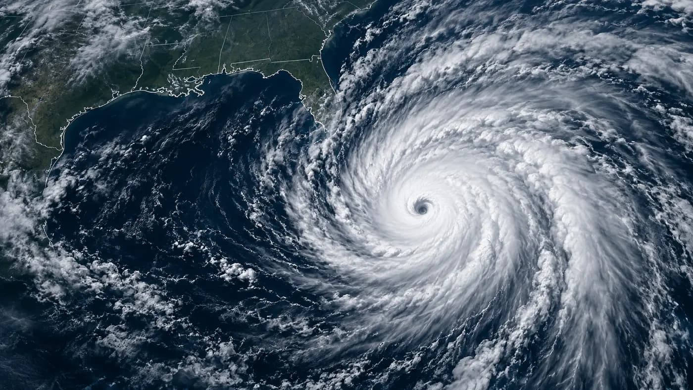
Hurricane Isaias is moving toward the northern US Gulf Coast, with wind, coastal flooding and heavy rain in focus ahead of Friday, October 9. The National Hurricane Center’s 15:00 UTC bulletin on October 8 placed its maximum sustained winds near 85 mph, or approximately 137 km/h.
Which areas are in focus?
The NHC highlighted the Florida Panhandle, southern Alabama and southern Mississippi for damaging hurricane-force winds. Its forecast also warned of heavy rain affecting the central Gulf Coast and parts of the southeastern United States from Friday into the weekend.
Why wind speed is only part of the story
Three different hazards matter: strong winds, seawater pushed onto the coast, and rainfall flooding inland. A location does not have to be directly under the storm’s center to face dangerous conditions. The NHC also identified possible damaging gusts in central and northern Alabama and parts of Georgia.
When could the storm approach the coast?
The October 8 forecast showed Isaias nearing the northern Gulf Coast on Friday. Forecast positions and intensity estimates are projections, not a guarantee of where the center will cross the shoreline. Later bulletins can revise both.
How to follow the situation
Check the NHC advisory archive and local official warnings. Residents should follow local evacuation instructions rather than rely on a news article as a live alert.
Reporting cutoff: This article summarizes the October 8, 15:00 UTC advisory. It is a dated news update, not a live hurricane tracker. The cover is an AI-generated illustration, not an actual satellite image.